Classification of Radar Sets (2)
Radar systems may be divided into types based on the designed use also. This section presents the general characteristics of several commonly used radar systems:
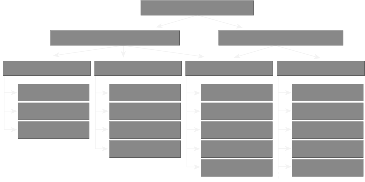
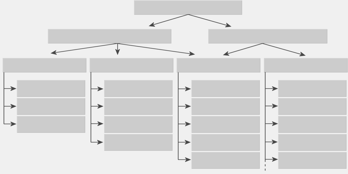

Figure 1: Classification of Radar sets based on the designed use
Multi-Function Radars
Active array MultiFunction Radars (MFRs) enable modern weapon systems to cope with saturation attacks of very small radar cross-section missiles in a concentrated jamming environment. Such MFRs have to provide a large number of fire-control channels, simultaneous tracking of both hostile and defending missiles, and mid-course guidance commands.
The
active
phased-array antenna
comprises flat sensor panels consisting of arrays of GaAs modules
transmitting variable pulse patterns and building up a detailed picture of the surveillance area.
A typical fixed array configuration system could consist of about 2,000 elements per panel, with four
fixed panels. Each array panel can cover 90° in both elevation and azimuth to provide complete
hemispherical coverage.
Multi-Target Tracking Radar
Operational functions of a Multi-Target Tracking Radar (MTTR) include:
- long-range search;
- search for information with a high data rate for low-flying aircraft;
- search for information with high-resolution of close in air targets;
- automatic position and height information;
- simultaneous tracking of a lot of aircraft targets;
- target designation facilities for other systems.

Air Traffic Control Radar Sets
Air traffic control radars are used both at civilian and military airports. Airborne radar is designed especially to meet the strict space and weight limitations that are necessary for all airborne equipment. Even so, airborne radar sets develop the same peak power as shipboard and shore-based sets. In fighter aircraft, the primary mission of radar is to aid in the search, interception, and destruction of enemy aircraft.
En-Route Radar
“En Route” radars operate in L-band mostly and display radar data to controllers in the en route environment at a maximum range up to 450 km.
Precision Approach Radar Sets (PAR)
The Precision Approach Radar guide aircraft to safe landing under conditions approaching zero visibility. By means of radar, aircraft are detected and observed during the final approach and landing sequence. Guidance information is supplied to the pilot in the form of verbal radio instructions, or to the automatic pilot (autopilot) in the form of pulsed control signals.
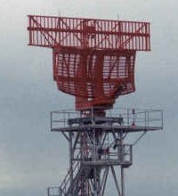
Air Surveillance Radar Sets (ASR)
These radar equipment are used for the identification of aircraft, determination of aircrafts approach sequence and for individual aircraft approach controls by Air Traffic Security operators. In the meantime, these radars correlate the data obtained from other radars such as Air Defence Radars or (excluding simple airfields) Mode-4 coordinate-data of Secondary Radar equipment. These radar network can be used under all weather conditions.

Weather Radar Sets
The weather data it finds could be used both for approach support and for feeding into the wider weather data concentration systems. The antenna rotation rate between systems is quite variable (3 to 6 rpm is common). Assuming multiple elevations are used, the weather picture gathered might be updated with a frequency of one minute and upwards (this depends on the complexity and number of the elevations required and the antenna rotation rate).
Radar in recent years has become an important tool for the measurement of precipitation and the detection of hazardous weather conditions.

Surface Movement Radar (SMR)
Surface Movement Radar (SMR) is the most widely used surveillance system for airport surveillance at present. SMR refers to primary radar that provides surveillance cover for the maneuvering area, which is defined as that used for the take-off, landing, and taxiing of aircraft, excluding aprons.
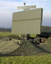
Air- Defense Radar Sets
Air-Defense Radars can detect air targets and determine their position, course, and speed in a relatively large area. The maximum range of Air-Defense Radar can exceed 300 miles, and the bearing coverage is a complete 360-degree circle.
Figure: TAFLIR of the Swiss Air Force
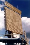
Air- Surveillance Radar Sets
Air-search radar systems initially detect and determine the position, course, and speed of air targets in a relatively large area. The maximum range of air-search radar can exceed 300 miles, and the bearing coverage is a complete 360-degree circle. Air-search radar systems are usually divided into two categories, based on the amount of position information supplied. Radar sets that provide only range and bearing information are referred to as two-dimensional, or 2D, radars. Radar sets that supply range, bearing, and height are called three-dimensional, or 3D, radars.
Figure: Lockheed Martins Air-surveillance radar AN/FPS 117
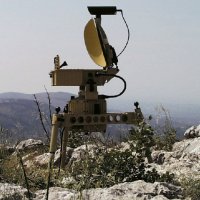
Battle Field Surveillance
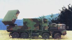
The battlefield surveillance radar mission is to alert and or cue combat troops of hostile and unknown aircraft, cruise missiles and unmanned aerial vehicles, protect friendly forces from fratricide and provide air situational data to command and control centers.
Figure: BOR-A 550
Mortar Locating Radar Sets
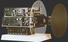
A Mortar Locating Radar provides quick identification to pinpoint enemy mortar positions in map coordinates, enabling artillery units to launch counter attacks
Figure: COBRA - Mortar Radar
Air- Policing
Another function of an air-search radar system is guiding combat air patrol (CAP) aircraft to a position suitable to intercept enemy aircraft. In the case of aircraft control, the guidance information is obtained by the radar operator and passed to the aircraft by either voice radio or a computer link to the aircraft.
In fighter aircraft, the primary mission of radar is to aid in the search, interception, and destruction of enemy aircraft. This requires that the airborne radar system have a tracking feature.
Figure: The nose radar ECR 90 of the Eurofighter EF 2000

Missile Control Radar
A radar system that provides information used to guide a missile to a hostile target is called Guidance Radar. Missiles use radar to intercept targets in three basic ways:
- Beam-rider missiles follow a beam of radar energy that is kept continuously pointed at the desired target;
- homing missiles detect and home in on radar energy reflected from the target; the reflected energy is provided by radar transmitter either in the missile or at the launch point and is detected by a receiver in the missile;
- passive homing missiles home in on energy that is radiated by the target.
Figure: Rapier

Battle Field Radar Sets
Battlefield Radars usually have a shorter range and are highly specialized for a particular task. On ships of the navy, the number of specialized radar antennas is more and more replaced by a multi-function radar.
Figure: Multi-Function Radar (MFR) “Variant” of Thales Naval Nederland
Missiles Guidance and Control
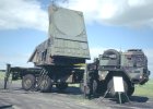
The Patriot is an Army surface-to-air, mobile, air defense missile system. Since the mid-1960s, the system has evolved to defend against aircraft and cruise missiles, and more recently against short-range ballistic missiles.
Miscellaneous Civil Radar Sets
Radar Sets are deployed everywhere where measurements (or positioning) must inevitably be made at certain ranges. As a result of this also for civil purposes, a very wide operation area is developed.
Speed Gauges
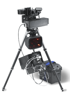
Speed gauges are very specialized CW-radars. A speed gauge uses the Doppler- frequency for measurement of the speed. Since the value of the Doppler- frequency depending on the wavelength, these radar sets use a very high frequency in K-Band.
Figure: speed gauge “Traffipax Speedophot”
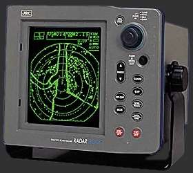
Navigation
Navigation radars are designed for ship navigation and surface surveillance. When navigating in restricted waters, a mariner most often relies on visual piloting to provide the accuracy required to ensure ship safety. Visual piloting, however, requires clear weather; often, mariners must navigate through the fog. When weather conditions render visual piloting impossible on a vessel, radar navigation provides a method of fixing a vessel’s position with sufficient accuracy to allow safe passage.

Radar-Controlled Cruise Control
Here the radiator grille of a Mercedes-Benz SL-Class roadster, the Distronic sensor being hidden behind the Mercedes star. This future-oriented radar set registers the traffic scenario to a distance of up to 150 meters (500 feet) ahead and when necessary apply the brakes automatically.
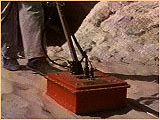
Ground-Penetrating Radar
Ground penetrating radar is a geophysical method that has been developed over the past thirty-five years for shallow, high-resolution, subsurface investigations of the earth.
Figure: Ground Penetrating Radar in action
Non-Destructive Material Test
A special radar can be used to penetrate material to detect material-defects.
