Display in the cockpit

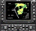
Figure 1: Display in the cockpit

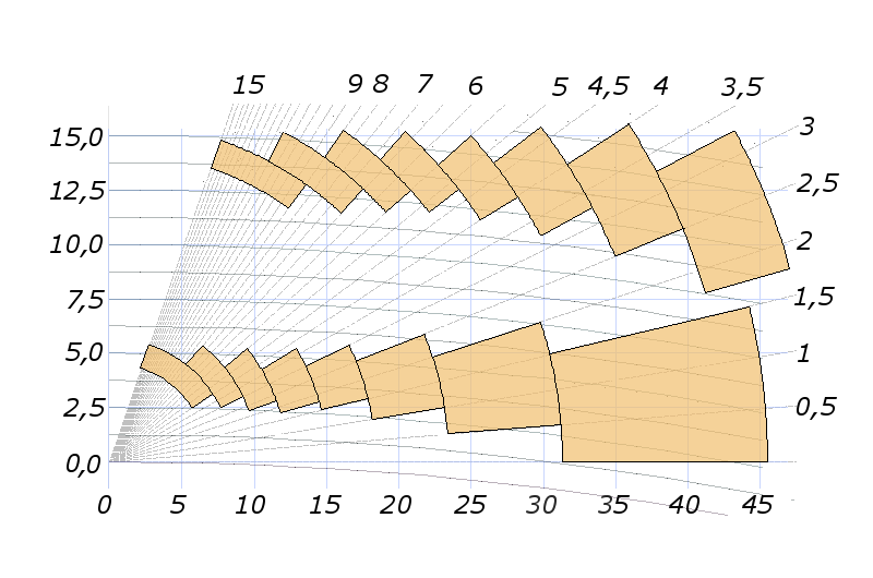
Höhenwinkel [degrees]
Höhe [ft * 1000]
Entfernung [NM]
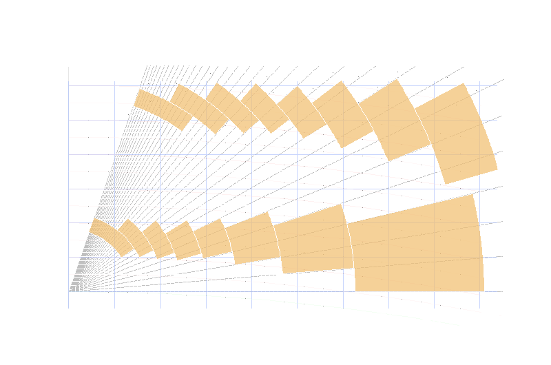
Figure 2: Calculation of a Vol-CAPPI-Display
Display in the cockpit
The PPI - display present a „map style” view of the oncoming weather. It is common to have powerful controls to allow the pilot to zoom in and out of the viewing display screen as he requires.
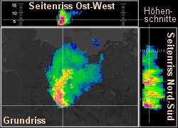
CAPPI: (Constant Altitude PPI)
is a horizontal, two-dimensional representation of radar measurands in a certain height (or
Altitude).
A CAPPI is calculated from several PPI measurings at different
elevations.
The different heights are usually represented by color variations on a PPI-Scope.


